We understand the challenges and huge responsibility that comes with working in and around Airports. Through the combination of specialist skills, in-depth experience and the latest technology, 40SEVEN provide accurate right first time data to meet the exacting requirements of the Aviation industry.
We will work safely or not at all
01
Our approachHow we work in the Aviation Sector
Industry Challenges
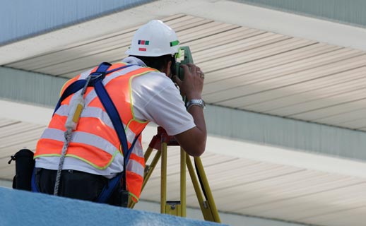
- Access to Airside areas is tightly restricted by Aircraft movements and flights
- Utility assets are operation critical and strikes or damage must be averted at all costs
- Confidence and clarity in the accuracy of the asset data is paramount
40Seven Solution
- Leading technologies to locate the exact position of underground assets
- Positioning of services using advanced topographical techniques
- Clear and simple presentation of all utility assets to scale

02
AviationBrowse some of our Aviation services below to see what we could do for you
Underground Utility
It is critical to identify all underground utility assets to optimise your design and maximise safety.
Topographical Surveys
Accurate and detailed plan drawings to identify all features and ground levels within a specified area.
3D BIM Surveys
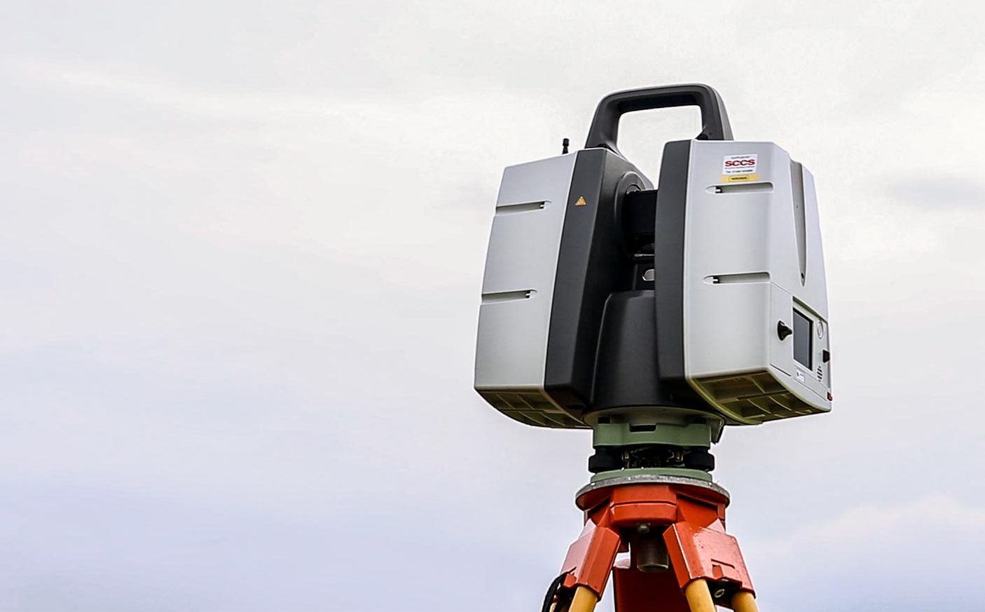
Highly detailed and accurate 3D Models and Point Clouds of airport buildings, structures and underground assets.
Setting Out Services
Millimeter accurate setting out information is essential to ensure successful aviation construction projects.
03
Why choose 40SEVEN?What sets 40SEVEN apart?
Quality – We have a robust and comprehensive Quality Assurance process and every project is subjected to our rigorous Quality Assessment system, which is performed by qualified and accredited professionals.
Service – Our clients are allocated a dedicated Project Manager with proven industry experience. We pride ourselves on delivering one stop shop solutions and finding creative answers to the range of challenges that often arise in projects.
Value – By utilizing the very latest technology and experienced surveyors based throughout the country, 40Seven provide cost efficient solutions for all our clients surveying needs.

04
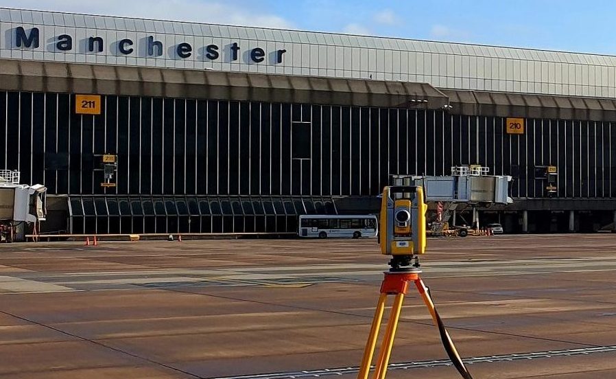
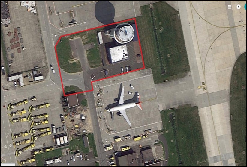
Client SuccessTopographical & Underground Utility Surveys at Gatwick Airport
Knights Brown required and Underground Utility Survey prior to installation of the new Control Tower. The new Control Tower at Gatwick was to be built adjacent to the existing tower and it was critical to understand exactly where the underground utilities were in the vicinity surrounding the tower. Knights Brown required an accurate AutoCAD drawing of the area showing all underground assets and features in 3D.
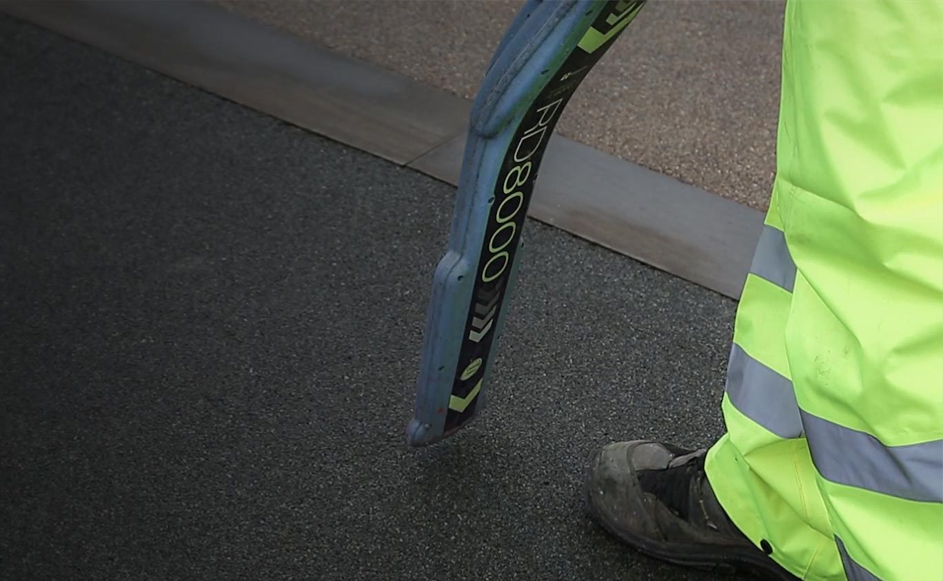
Airside access is always restricted and therefore all survey works were carried out during night shifts. The survey was carried out to the GAL Standard specification and PAS128 M4p methodology using Mala HDR Pro GPR and Radiodetection Rd8100 units. All utilities were mapped topographically in 3D using Trimble Total Stations to deliver a high accuracy survey.
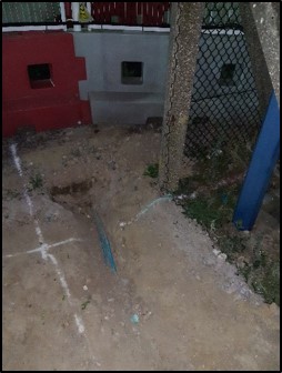
During the survey we located Two Fibre-Optic cables encased in concrete that were not shown on the existing drawings. These were detected immediately prior to construction and in the precise location where the works were about to commence, narrowly avoiding a highly damaging strike.
40SEVEN Case StudiesHow we've helped our clients