We will work safely or not at all

01

Client requirements

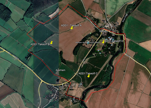
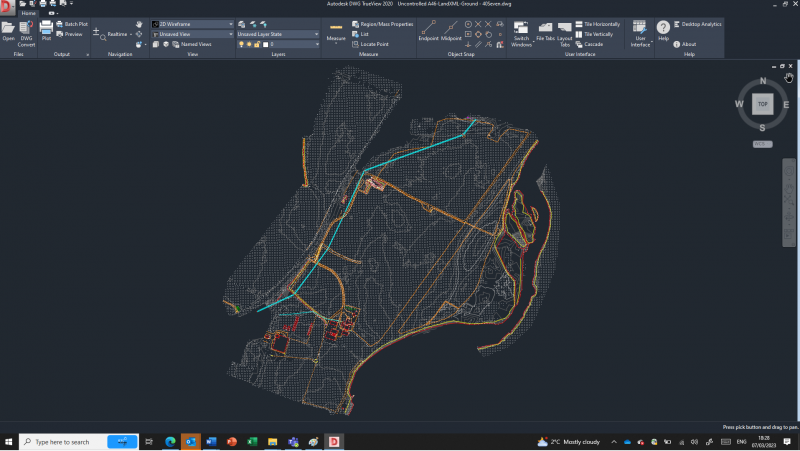
In late 2022, Skanska asked us to carry out a series of large-scale Topographical Surveys as part of the A46 Newark By-Pass project in Nottinghamshire.

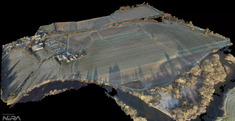
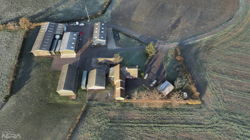
Part of the scheme’s construction incorporates the design and modelling of the land drainage, waterways and flood plains within the routed area of the new by-pass. Therefore, the requirement was to survey large areas of rural land for these existing land drainage catchments to be accurately modelled.

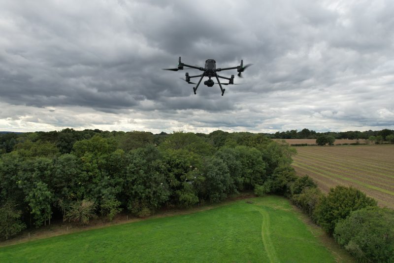
Due to the size of the survey areas involved, we used Aerial Drone to best capture this.

02

40Seven Solution

We mobilised our Aerial Survey team for one week in December 2022, to survey a total area of 200ha. This incorporated one large area of 150ha as can be seen in the aerial image above, and a series of smaller areas where land accessibility was problematic.

A total of 17 take-off and landing points were identified and the works were coordinated with the CAA, local land-owners and a private airfield, to ensure the safety of all stakeholders.

If we had carried out the surveys using traditional methods of GPS and Total Station, we would have required roughly fifty site days, but by using our Drone we were able to survey all the required areas in just three site days. This demonstrates the efficiency of Drone usage.

The area shown on the aerial image above measures approximately 150ha, and this was surveyed from four take-off points (A,B,C and D) in a single day using our DJI M300 RTK drone, pictured below. The total flight time for each flight was approximately 30 minutes, at a height of 100m above ground.

Martyn Utley
Business Development Manager
Contact 40Seven
03

The results

The images below of the processed photogrammetry captured from Take-off C, show the incredible detail that is captured by the 40MP onboard Drone Camera.


We then used this photogrammetry to extract a 10m level grid across the entire site and to create a Digital Terrain Model, including contours.

We also digitised features including buildings, tracks, overhead lines, trees and the River Trent that runs to the east of the survey area below.

The resulting Topographical drawing was presented in 3D AutoCAD and delivered in a fraction of the time that would have been required if we had carried out the survey traditionally.

Explore Our Solutions

Industry-leading surveying services, delivering the right data at the right time.