We will work safely or not at all

01

Client requirements

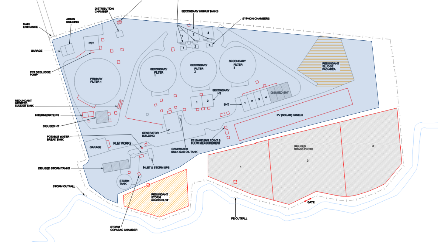
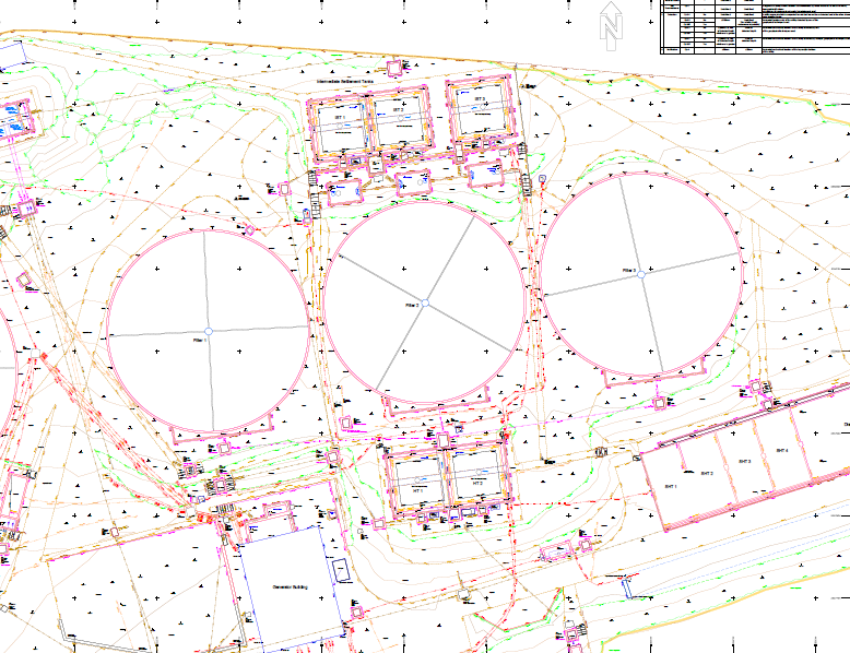
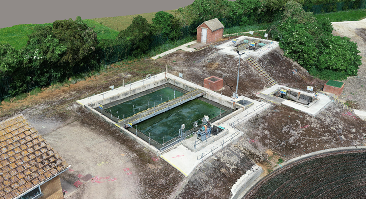
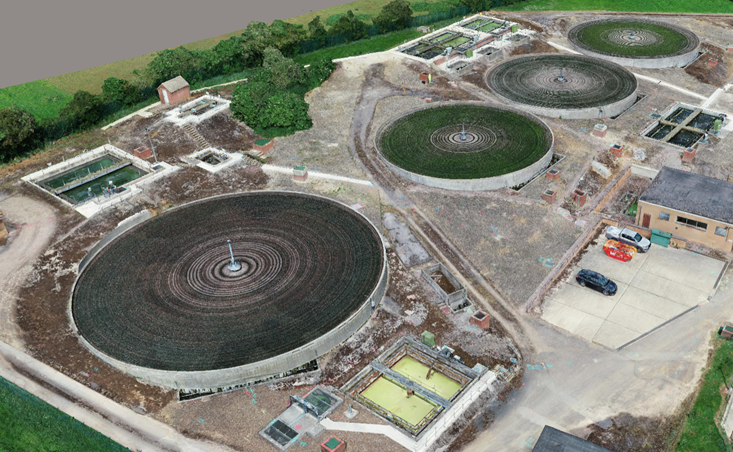
In June 2021 we were awarded the contract by JN Bentley to carry out multiple surveys at Thames Water’s Bloxham Water Treatment Works to aid with planning and design for an extension on site.

The design engineers required 3D Topographical and 3D PAS128 M2 Underground Utility Location information and mapping of all underground utilities, including service connections and manhole cards. We also carried out a 3D Laser Scanning Survey and a Photogrammetry Survey of the entire site which was carried out by Drone..

02

40Seven Solution

The GPR data was collected in real time, using a 2m grid. ​​We carried out a traditional Topographical Survey using Total Stations, which required a 5m level grid for the main survey area, and a 10m level grid on the outskirts of the survey area.

We used RD8200 Radio-Detection units and MALA HDR Pro’s for the utility element of the work. FARO laser scanners to capture the entire treatment works and create a PointCloud for the client. We used a Wingtra drone to capture photogrammetry of the site.

Martyn Utley
Business Development Manager
Contact 40Seven
03

The results

We delivered a full 3D Topographical and Utility Survey to our client JN Bentley, as well as a PointCloud of the whole site, and

drone imagery that can be navigated using a web link of the site.

Explore Our Solutions

Industry-leading surveying services, delivering the right data at the right time.