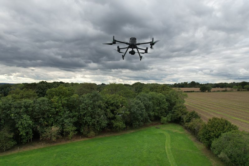
Drone technology is moving along rapidly and to ensure we stay up to date, and present our clients with the highest quality survey information, we have recently taken delivery of a new Rotary Wing Drone.
We chose the DJI Matrice 300RTK which has a maximum payload of 2.7kg. We have paired this with a 40MP onboard camera to capture incredibly detailed aerial images which can then be used to create 3D Digital Terrain Models. It will enable us to survey huge areas of land (100ha plus) in a single day over any terrain, even otherwise inaccessible areas, and extract data with a high degree of accuracy.
40SEVEN has Unmanned Aircraft Operational Authorisation from the Civil Aviation Authority (CAA) to operate rotary wing aircraft and we have two fully trained and licensed operational pilots. Coupling this with our own in-house Topographical and Underground Utility Surveys, will enable us to survey everything above and below ground quickly and efficiently without compromising quality.
If you would like further information on our Drone Survey capabilities please get in touch – MUtley@40seven.com or EElbrow@40seven.com